

Issue I
Issue I
Free-spirited clouds, inverted double rainbows, and 'Did I spot a comet?'

Hi Cloud Lovers!
The monsoons have finally withdrawn and we’re back to extremely hot days with little cloud cover, here in Mumbai. No better time for me to be compiling this wonderful selection of observations sent in by all of you!
As a special for the first issue, we have two super interesting questions and one demystification of an atmospheric phenomenon so, let’s float right in! :D
PS. The newsletter is interactive, look for the comment icon at the top.
After spending the entire day on my computer instead of in my studio creating my hand-cut paper collages, I went for a walk along the East River to find a collaged cloud courtesy of Mother Nature. - Caroline Golden

Caroline asks, What causes a cloud to seemingly stray from the pack?
Such a great question!
So clouds, quite like us, are a work in progress and are constantly developing. A combination of water droplets, particulate matter and lots of air; a cloud’s form, size and movement are greatly influenced by temperature, wind and topography amongst other variables.
When there is a variation of temperature between two areas in the sky is when winds form (air rushes from warmer to cooler areas) and this would explain why a cloud would stray from a pack.
Winds, just like all elements of the weather, are hyper-localised and they enable clouds to chart their own exciting life journeys!
Sources: NASA, Science Direct (Microclimates), UCL Culture Online
Duo. Every time I am convinced that I've seen enough and nothing new can happen with me, the sky takes it as a challenge. - Imamul Hassan
Sunsets over the days during lockdown. - Chacko Lijumon
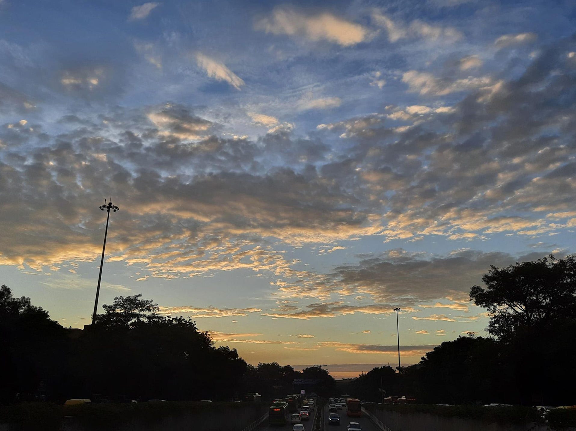
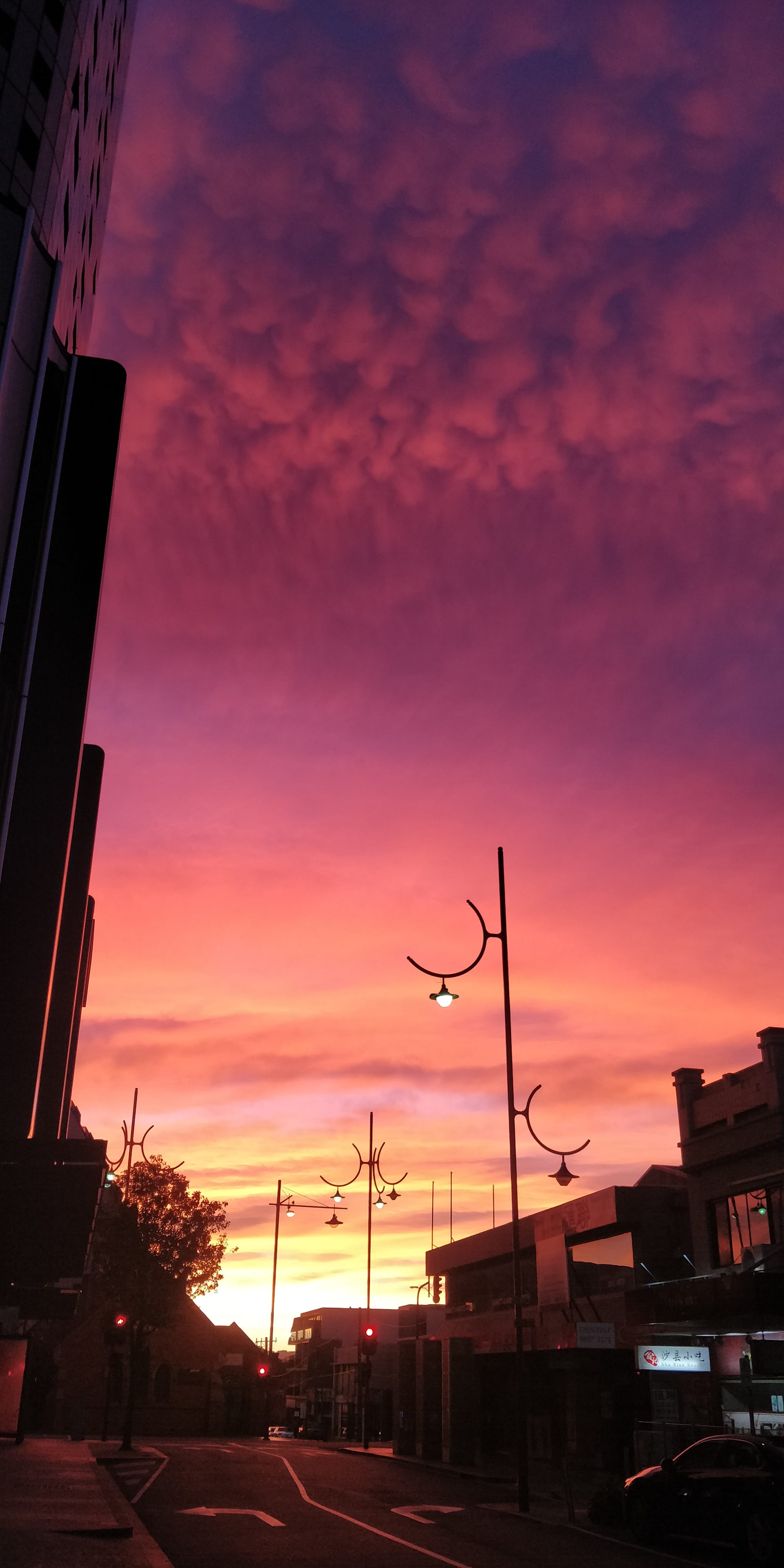
As the days get shorter, a late start to my run was greeted with a fabulous evening sky. - Nakul Butta
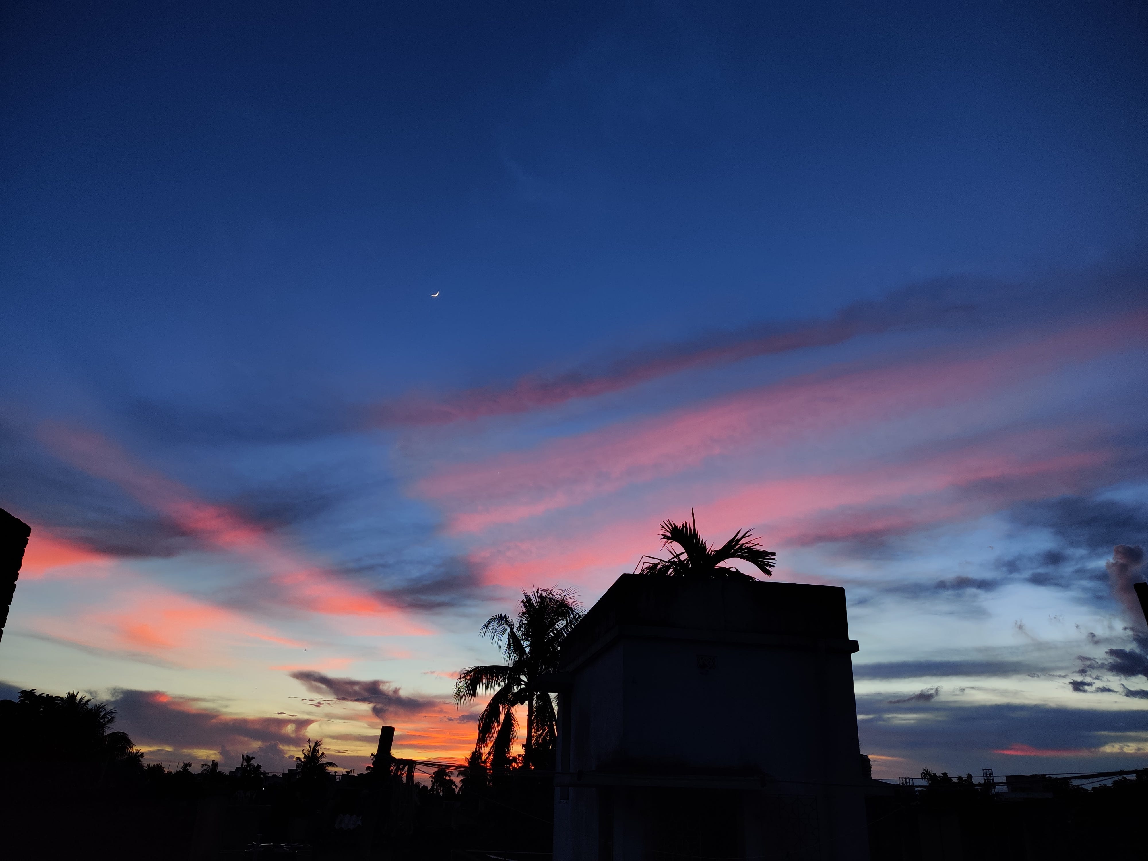
Accidentally waking up early has its perks sometimes. The colours of the fall and the clouds seen here conspiring with each other. - Abhishek Jha
A rainbow brings out the child in you, a feeling unparalleled to any other emotion. - Tarunima Sen
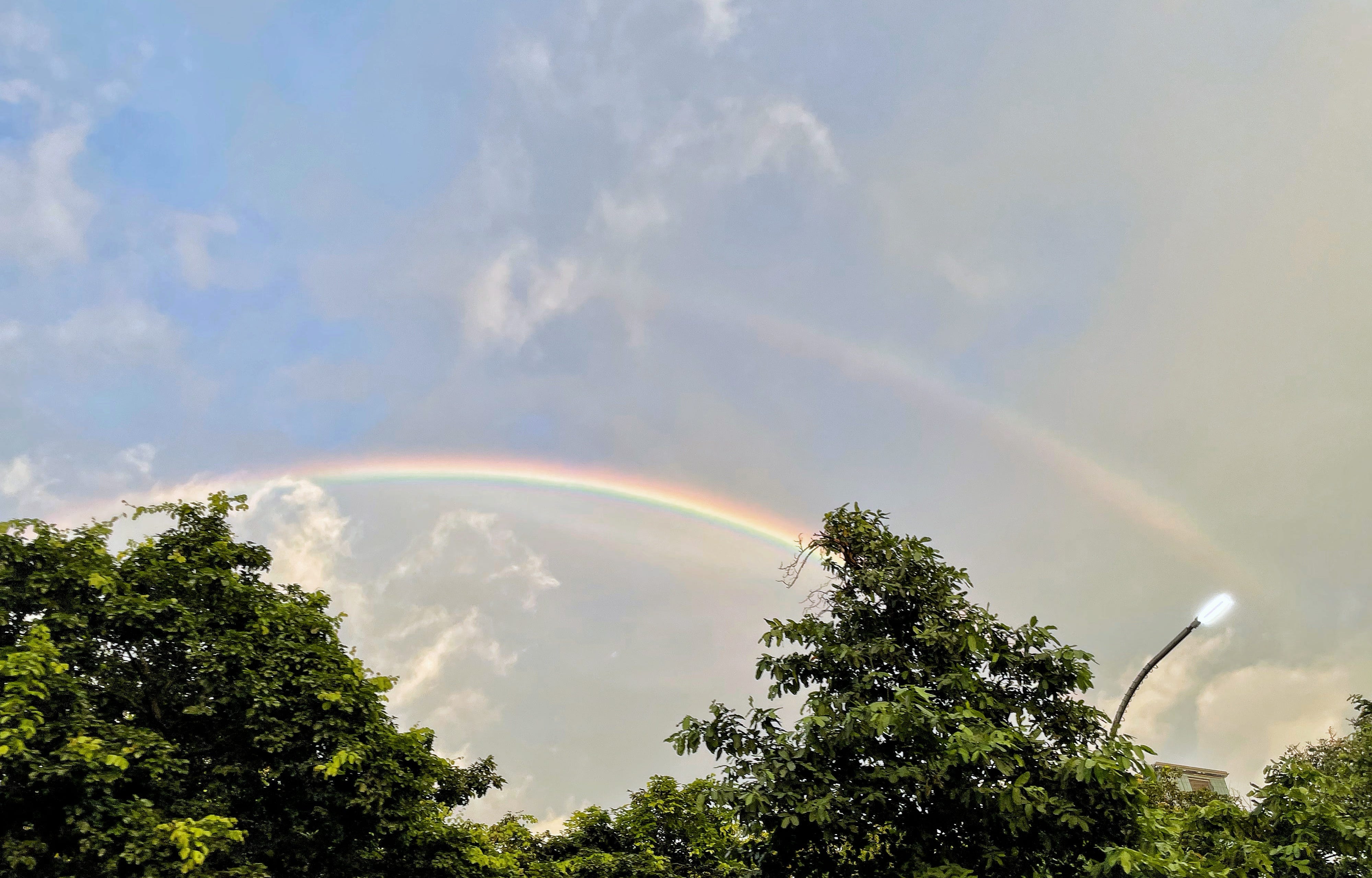
B R E A K D O W N: Did you know double rainbows are inverted?!
Yes, you read that right. Take a closer look and you’ll notice that the second rainbow (on top) follows the ROYGBIV pattern instead. Doesn’t roll off the tongue as easily, thankfully they aren’t spotted as often!
We know that refraction and reflection of sunlight through raindrops cause a rainbow to form but when light reflects twice inside a raindrop, is when we see a double rainbow.

In the case of double rainbows the VIBGYOR spectrum (formed after the first reflection) is re-reflected, which explains why we see inverted colours!
Fun fact: There is a 8° degree difference between the angles of reflection of the two rainbows and the dark band between both bows is known as Alexander’s Band, named after Alexander of Aphrodisias who first described it in 200AD.
Sources: Astronomy Magazine, Met Office UK, NCAR at UCAR, NOAA SciJinks
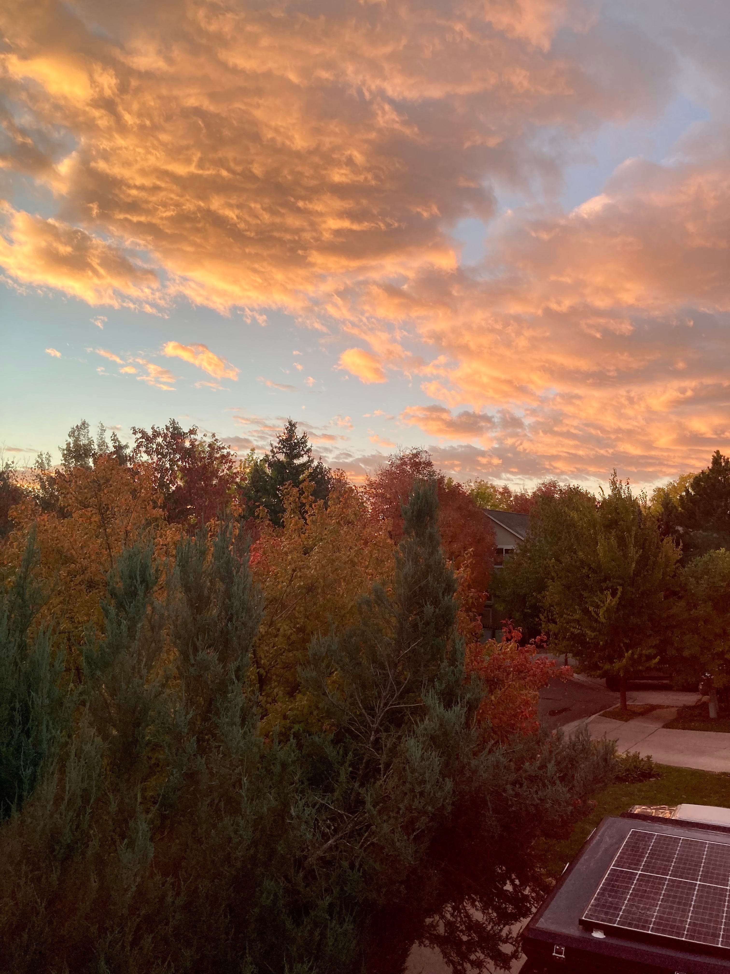
Woke up to this wonderful painting! - Akshaya Gad
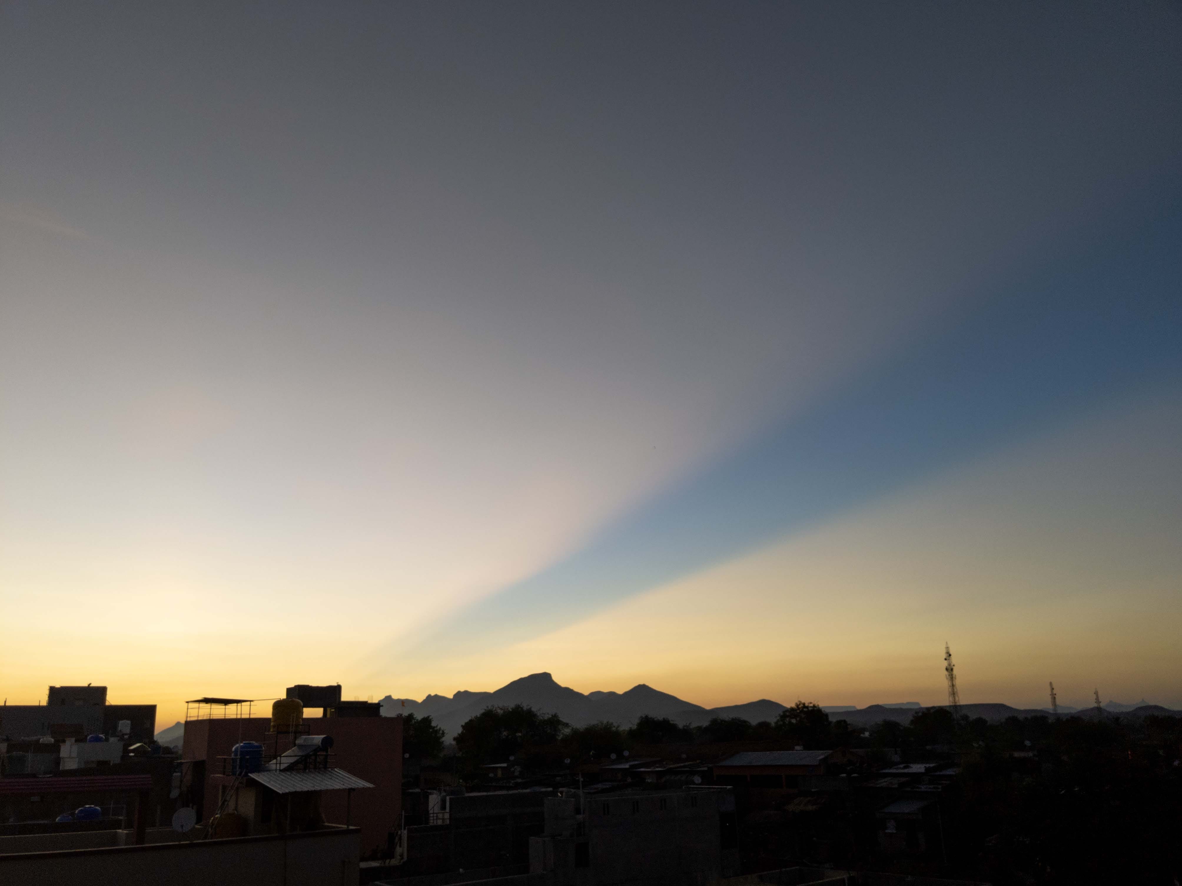
Giant empty patch in the sky surrounded by a thin layer of clouds. - Mangesh Mahajan
Amidst the quiet of the lockdown, the only sound that seemed to grow louder was of the birds, the insects and the animals. Now it seems that this was only temporary, humanity hasn't learnt anything. - Varun Vithalani
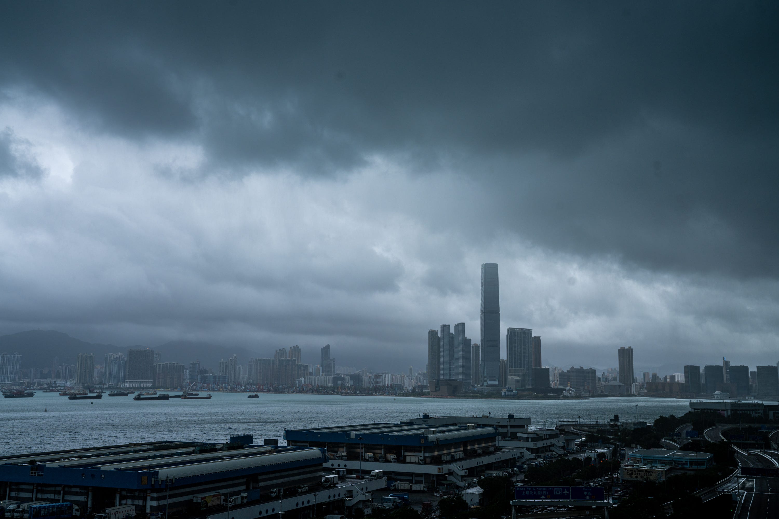
Hong Kong has been under a typhoon warning for most of the past week. This was taken right before the skies were whited out from the clouds and rain. - Katherine Cheng
I woke up one morning to see this luminous object moving through the sky in a manner which seemed unusual. It didn't seem to be a plane because the trail was tiny and planes have longer ones? DID I SEE A COMET? - Anonymous

Question: Did I see a comet?
I wish but no! For one, it’s hard to spot comets after dawn. Second, the size and proximity of the object seem too large and close to earth to be a comet.
What you spotted was an aeroplane and the trails that aircraft leave behind in the sky are called contrails. Interestingly despite them being human-made, they are considered clouds!
Contrails form when the exhaust from aeroplanes condense, given the colder temperatures at higher altitudes. They may last for a few seconds or several hours depending on the humidity and temperature conditions present at the time.
• Drier air ie. low humidity = fewer or shorter lasting contrails = fair weather.
• Moisture laden air ie. higher humidity = longer and longer-lasting contrails = possible indicator of an incoming storm.
So, it seems like you spotted an aeroplane flying at a relatively lower altitude on a day when the humidity wasn’t very high!
Very glad you sent this in, I appreciate your curiosity!
Sources: NASA Earth Observatory, National Oceanic and Atmospheric Administration, National Radio Astronomy Observatory, Scientific American.
Before I sign off, here is something that absolutely blew my mind this week.
While watching the International Space Station’s live stream a couple of days ago, I couldn’t help but notice the streaky cirrus clouds (on the right) as the ISS hurtled across the South Pacific Ocean towards Antarctica.
Cirrus are wispy high clouds that denote a change in weather within the coming 24 hours. They also are an indicator of the direction from which the change in weather is headed.
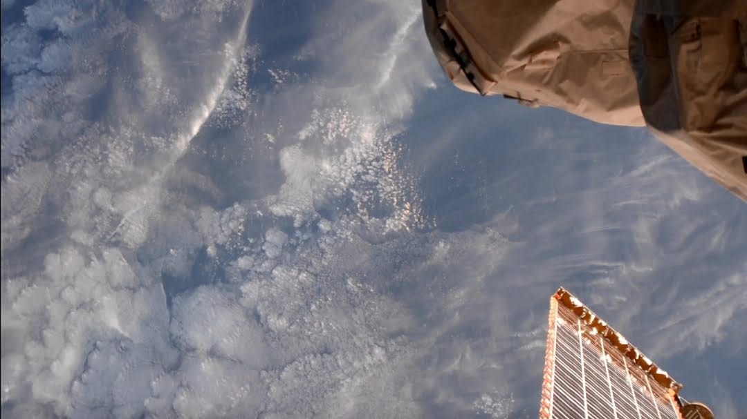
The wind was blowing from NW to SE at this location and if you look carefully you’ll notice the icy tops of the clouds on the left half of the frame. When clouds that extend vertically hit a cold barrier, they tend to from ice crystals and spread sideways giving clouds flat tops. Hence, the snow on glass effect seen here.
These icy clouds are amongst those that bring precipitation (thank you, water cycle) so basically we can see the indicator of weather change, cirrus, as well as the new incoming weather in a single frame! 🤯
Perspective, I tell ya.
A big thank you to everyone who took contributed to this issue, hope you found it fascinating!
Till next time, keep documenting the skies around you!
Alisha